

Licence No. NE 0000413
_________________________________________________________________________________________________
GPS Coordinates of
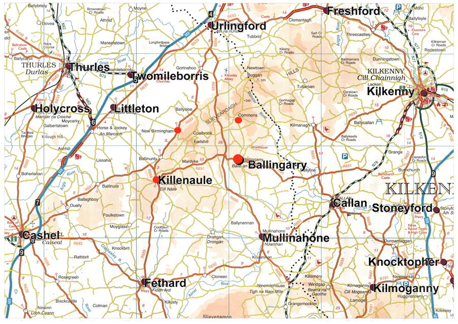
sites on the Slieveardagh Ecclesiastical Trail
| Site | Latitude | Longitude |
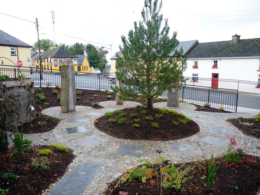
| Slieveardagh Centre | 52.568690 | -7.672282 |
| St. Mary’s Killenaule | 52.569081 | -7.674814 |
| Church Hill | 52.572211 | -7.707688 |
| Perry’s Well | 52.566734 | -7.700349 |
| Graystown | 52.564856 | -7.714940 |
| Scornan Hill | 52.557903 | -7.710879 |
| Derrynaflan (southern access - Lurgoe) | 52.593476 | -7.742138 |
| Derrynaflan (northern access – Liskeveen) | 52.610992 | -7.735958 |
| Ballinure | 52.562839 | -7.769802 |
| Magorban | 52.517501 | -7.756305 |
| Knockanglass | 52.529081 | -7.709248 |
| St. Johnstown | 52.522593 | -7.659917 |
| Magowry | 52.529598 | -7.614025 |
| Crohane | 52.561855 | -7.590421 |
| Lismalin | 52.545625 | -7.532314 |
| Modeshill | 52.539779 | -7.482060 |
| Lanespark | 52.592108 | -7.671557 |
| Ballinlacken | 52.609415 | -7.644409 |
| Derryvella (looped walk trailhead) | 52.619968 | -7.681835 |
| Buolick | 52.657470 | -7.614583 |
| Kilcooley | 52.670626 | -7.570938 |
| Aglish | 52.680313 | -7.547463 |
| Fennor | 52.708007 | -7.599359 |
| Durrahy | 52.694976 | -7.646334 |
| Liathmore | 52.669558 | -7.668350 |
| Ballymurreen | 52.632926 | -7.750061 |
| Holycross Abbey | 52.638884 | -7.867777 |